Tout savoir sur le métier de consultant RSE

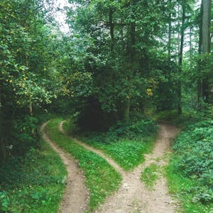
Préserver, restaurer et créer des forêts partout dans le monde, en réponse à l’urgence climatique et à l’érosion de la biodiversité.
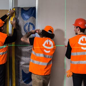
Produits ou services responsables
La mission de cette entreprise est de concevoir des produits ou proposer des services éco-responsables alignés avec les besoins de la transformation écologique et solidaire.
Spécialiste de la forêt, Reforest’Action est une entreprise certifiée B Corp fondée en 2010, dont la mission est de préserver, restaurer et créer des forêts partout dans le monde, en réponse à l’urgence climatique et à l’érosion de la biodiversité.
Grâce à un modèle unique de « crowdplanting », Reforest’Action permet aux entreprises et citoyens d’agir concrètement pour la forêt en finançant des arbres ou des projets forestiers, sélectionnés, soutenus et suivis en vue de développer leurs multiples bénéfices environnementaux, sociaux et économiques.
Depuis 12 ans, Reforest’Action a planté plus de 20 millions d’arbres dans 42 pays grâce à l’engagement de plus de 3000 entreprises et 300 000 citoyens. L’objectif de la prochaine décennie : planter et régénérer 1 milliard d’arbres partout dans le monde grâce aux talents internes et à l’inestimable travail des porteurs de projets sur le terrain.
Reforest’Action is developing an information system to support its activities and monitor its projects. In this
context, we are looking for a GIS & remote sensing expert, specialized in forestry.
The first main mission is to support the implementation of remote sensing-based forest monitoring and geospatial data management in the context of our information system. The second main mission is to conduct remote sensing analysis, spatial analysis, and mapping in the context of projects development and certification.
MISSION 1: Contribution to geospatial data management and development of long-term monitoring processes relying on remote sensing
• Develop processes and tools to enable the geospatial analysis of our projects and their impacts
• Contribute to the validation of remote sensing analysis by developing field sampling strategy and validation
protocols, selecting pilot projects and participating to the field missions
• Perform technological and the scientific watch on remote sensing-based forest monitoring
MISSION 2: Mapping and spatial analysis in the context of projects development and certification
• Participate to projects selection, qualification, and certification by providing and analyzing specific maps, and by performing spatial and remote sensing data analysis
• Develop protocols and train the local partners to ensure proper spatial data acquisition
• Participate to QA/QC on land eligibility assessment and on GIS management
Education and Work experience requirements
• Educational background: Minimum MSc. in bioengineering, ecology, forestry, environmental science or geography/remote sensing with a focus in forestry, agroforestry, restoration ecology
• Minimum 6 month-practical experience in remote sensing, mapping, spatial analysis
• Knowledge in statistical analysis and modeling using R and Python
• Experience with field forest monitoring is a plus
• Experience with carbon certification programs, for voluntary carbon markets (e.g. Gold Standard and VCS)is a plus
Profile
• Passionate by nature and ecology, excellent general understanding of forest and ecosystem restoration
• Comfortable with working independently, as well as working in a team
• Strong research and analytical skills
• Proactive, result-oriented, and flexible in a context of fast changes
• Curiosity, ability to learn fast and to deliver on topics recently learnt
• Fluency in English (C1) is mandatory, French is an asset

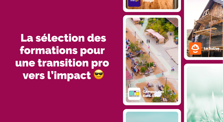
Découvre toutes les ressources pour t'inspirer et t'orienter dans le monde de l'impact positif. Témoignages, analyses, fiches métier et compétences de demain, tout ce que tu as toujours voulu savoir sans oser le demander.

Tu ne t'épanouis plus dans ton travail, et tu envisages de changer de profession pour trouver plus de sens dans ta vie professionnelle ? Découvre les ressources pour t'aider à réflechir à un projet de reconversion et trouver ta voie.